10-Dec-2024 04:36 PM
8660
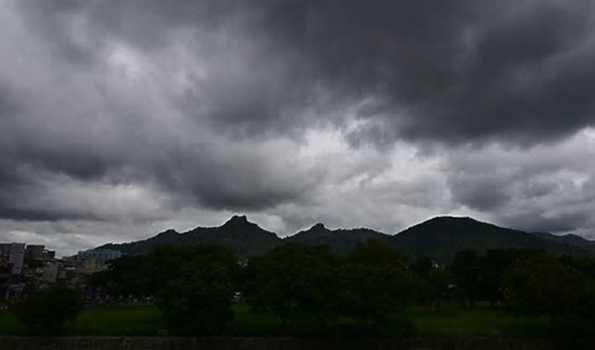
Chennai, Dec 10 (Reporter) The Low Pressure area over the Bay of Bengal on
Tuesday became more marked and intensified into a Well Marked Low
Pressure, and it is heading towards Tamil Nadu coast, promising heavy
rains for the next four days.
Met office said yesterday’s Low Pressure Area over southeast Bay of Bengal
and adjoining east Equatorial Indian Ocean has become more marked and
lay as a Well Marked Low Pressure Area over the Southwest and adjoining
Southeast Bay of Bengal at 0830 hrs today.
The associated upper air cyclonic circulation extends up to mid-tropospheric
levels.
The system is very likely to continue to move west-northwestwards towards
Sri Lanka-Tamil Nadu coasts during the next 24 hours.
It said heavy rain is likely to occur at one or two places over Cuddalore,
Mayiladuthurai, Nagapattinam, Thanjavur, Tiruvarur districts of Tamil Nadu
and Karaikal area (Yellow alert issued).
Heavy to very heavy rain is likely to occur at isolated places over six districts
including North coastal Cuddalore and Cauvery delta regions of Nagapattinam,
Thanjavur, Tiruvarur, Pudukkottai and Mayiladuthurai districts of Tamil Nadu
and Karaikal area tomorrow (Orange alert issued).
Heavy rain is also likely to occur at isolated places over North coastal, Cauvery
delta and southern districts, including Tiruvallur, Chennai, Kancheepuram,
Chengalpattu, Villuppuram, Kallakurichi, Ariyalur, Perambalur, Tiruchirappalli,
Sivaganga and Ramanathapuram districts of Tamil Nadu and Puducherry
(Yellow alert issued)...////...